


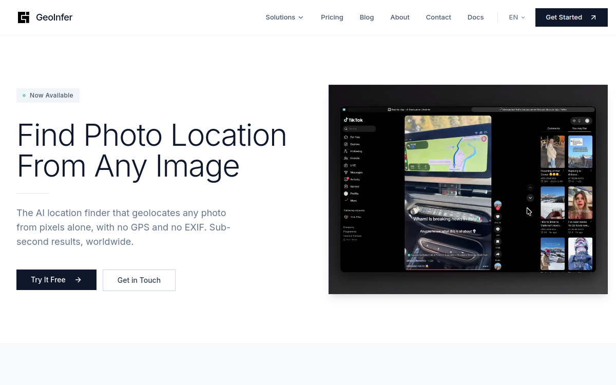
Finding the location where a photo was taken is a common challenge in journalism, insurance, or security, especially when the file contains no GPS data or EXIF metadata. GeoInfer tackles this exact problem by offering AI-powered image geolocation. Rather than relying on technical information that is often missing or stripped, the tool examines what the human eye perceives: the shape of buildings, terrain, vegetation type, roads, and visible infrastructure. Based on these clues alone, it provides geographical coordinates along with a confidence radius, all in less than a second. This approach opens up possibilities where traditional methods fail, such as in regions with poor Street View coverage or in environments where GPS signals are unavailable. GeoInfer thus positions itself as a specialized tool, designed for professionals who need to quickly and reliably identify or verify the source of an image.
What is GeoInfer?
The essentials
GeoInfer is an AI image geolocation platform. Its principle consists of deducing the location of a photograph by analyzing only its visual content, without relying on GPS, EXIF, or any other metadata. The tool is structured around two levels. The Global model offers accuracy ranging from regional to urban levels, i.e., a range of about 1 to 100 km, and remains accessible without an account via a browser-based demo. The more advanced Pro offer aims for metric accuracy using custom-trained models for specific regions, with dedicated infrastructure. GeoInfer is aimed as much at curious individuals as it is at institutions with strict security requirements.
Key features
The core of GeoInfer relies on automated visual analysis. The AI identifies distinctive elements such as architectural style, terrain type, local vegetation, and infrastructure to locate an image. The tool supports ground-level photographs as well as aerial or drone-captured views, which significantly broadens its scope of application. On the integration side, GeoInfer offers a REST API and batch processing, useful for analyzing large volumes of images within an existing workflow. Security is a major focus: data is protected by AES-256 encryption, and zero-retention policies are available for the most sensitive institutional uses. The Pro offer adds on-premises and air-gapped deployment options, as well as service level agreements (SLAs). This combination of speed, diverse image coverage, and privacy measures distinguishes GeoInfer from simple reverse image searches, which depend on an exact match rather than true geographical inference.
Use cases
The applications of GeoInfer are numerous in the fields of investigation and verification. Investigative journalists use it to authenticate the origin of a photo and verify that an image matches the claimed location. Insurance investigators use it to detect fraud by comparing a declared claim with the actual location of the photos. Security and open-source intelligence (OSINT) analysts find it useful for analyzing conflict zones or mapping events. Digital forensics experts employ it to establish the source of content and strengthen a chain of custody. Finally, geography enthusiasts can simply test the demo for the fun of finding a location from an image, making it a playful learning tool as well.
Advantages
The main benefit of GeoInfer is its ability to function without metadata, where most tools are blocked as soon as the EXIF has been stripped. Its speed, delivering results in less than a second, makes it usable for large volumes or in urgent situations. Support for both ground-level and aerial images covers a wide range of needs, from field reporting to drone surveillance. Encryption and zero-retention options reassure organizations subject to strict privacy constraints. Finally, the availability of a free demo without an account allows for a concrete evaluation of the tool’s relevance before any commitment, reducing the risk for teams discovering this type of technology.
Pricing
GeoInfer offers several access levels. The browser-based demo is free and requires no account, allowing users to test the Global model immediately. For more regular use, the community API operates on a credit system, with top-ups starting around €15. The Pro plan, which includes metric accuracy, custom models, dedicated infrastructure, and on-premises or air-gapped deployment, does not display a public price and requires contacting the team. This access is also restricted to verified institutions, reflecting the sensitivity of the targeted use cases.
Conclusion
GeoInfer is a specialized tool that addresses a real and difficult need: finding the location of an image when no technical data is available to help. Its free demo and credit-based API make it accessible to curious users and small teams alike, while the Pro plan targets organizations with high demands for accuracy and security. Professionals in journalism, insurance, security, and digital forensics will find it an effective ally. On the other hand, those looking for a free, ultra-precise, consumer-grade geolocation tool will need to temper their expectations.